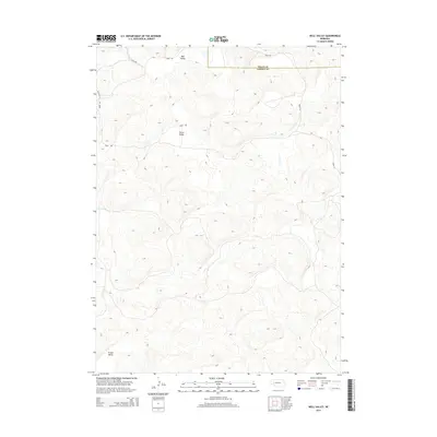
2014 Map of Well Valley
USGS Topo · Published 2014About this map
Well Valley defines the northern reaches of this Garden County landscape, where the Sandhills terrain creates a series of isolated depressions and seasonal basins. This 2014 survey illustrates a highly specific network of rural infrastructure, including Road 205 and Road 193 which provide access across the undulating topography. The map records the distinct geomorphology of the region, where named features like Dwire Valley and Green Valley represent the characteristic lowlands between stabilized dunes.
Find a feature on this map
10 named features on this map. Tap any name to fly to it.
Don’t see what you’re looking for? This feature index may not catch every label — zoom into the map to look around manually.
Map Details
Editions of this 2014 Well Valley Map
This is the sole edition of this map. No revisions or reprints were ever made.
Other maps of this area

1948 · George Lake
USGS Topo · 1:62,500

1949 · Rackett
USGS Topo · 1:62,500

1950 · Velma
USGS Topo · 1:62,500

1950 · George Lake
USGS Topo · 1:62,500

1950 · Longfellow Lake
USGS Topo · 1:62,500

1951 · Rackett
USGS Topo · 1:62,500

1954 · Scottsbluff
USGS Topo · 1:250,000

1954 · North Platte
USGS Topo · 1:250,000

1956 · North Platte
USGS Topo · 1:250,000

1957 · North Platte
USGS Topo · 1:250,000