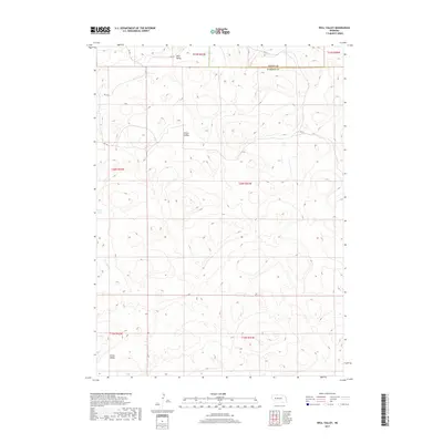
2017 Map of Well Valley
USGS Topo · Published 2017About this map
Well Valley and Dwire Valley characterize the undulating terrain of Garden County in this modern 2017 study. The landscape is defined by its dramatic depressions and natural basins, typical of the Nebraska Sandhills, where water bodies like Ward Lake provide vital resources in an otherwise arid grazing environment. In the southern portion of the sheet, Green Valley sits near a network of local corridors including Rd 100 and Rd 193, which follow the section lines of the Public Land Survey System. The map documents the persistent rural character of the region, showing how contemporary infrastructure like Rd 217 continues to navigate the complex topography and ranching boundaries established generations ago.
Find a feature on this map
15 named features on this map. Tap any name to fly to it.
Don’t see what you’re looking for? This feature index may not catch every label — zoom into the map to look around manually.
Map Details
Editions of this 2017 Well Valley Map
This is the sole edition of this map. No revisions or reprints were ever made.
Other maps of this area

1948 · George Lake
USGS Topo · 1:62,500

1949 · Rackett
USGS Topo · 1:62,500

1950 · Velma
USGS Topo · 1:62,500

1950 · George Lake
USGS Topo · 1:62,500

1950 · Longfellow Lake
USGS Topo · 1:62,500

1951 · Rackett
USGS Topo · 1:62,500

1954 · Scottsbluff
USGS Topo · 1:250,000

1954 · North Platte
USGS Topo · 1:250,000

1956 · North Platte
USGS Topo · 1:250,000

1957 · North Platte
USGS Topo · 1:250,000