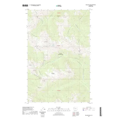
2020 Map of Wellesley Peak
USGS Topo · Published 2020About this map
Olympic National Park defines the high-elevation terrain of the Olympic Peninsula, where the boundary between Clallam and Jefferson counties crosses a landscape of glaciated peaks and narrow river valleys. At the heart of this region, Mt Cameron and the Cameron Glaciers feed the headwaters of the Cameron Cr and Dosewallips River. The map highlights a critical junction for backcountry travelers, showing where the Pacific NW National Scenic Trail intersects various primitive routes like the Cameron-Lost Primitive Trail. Notable landmarks such as Thousand Acre Meadow and Wellesley Peak sit between the drainages of Silt Cr and Gray Wolf River, reflecting the complex hydrology of the range. Small alpine features like Claywood Lake and Hatana Falls provide specific points of reference for those studying the drainage patterns and historical trail networks of the interior Olympics.
Find a feature on this map
46 named features on this map. Tap any name to fly to it.
Don’t see what you’re looking for? This feature index may not catch every label — zoom into the map to look around manually.
Map Details
Editions of this 2020 Wellesley Peak Map
This is the sole edition of this map. No revisions or reprints were ever made.
Other maps of this area

1938 · Mt Constance
USGS Topo · 1:125,000

1944 · Mt. Angeles
USGS Topo · 1:62,500

1946 · Mt. Angeles
USGS Topo · 1:62,500

1946 · Tyler Peak
USGS Topo · 1:62,500

1947 · The Brothers
USGS Topo · 1:62,500

1947 · Mt. Steel
USGS Topo · 1:62,500

1948 · Tyler Peak
USGS Topo · 1:62,500

1950 · The Brothers
USGS Topo · 1:62,500

1950 · Mt. Steel
USGS Topo · 1:62,500

1958 · Seattle
USGS Topo · 1:250,000