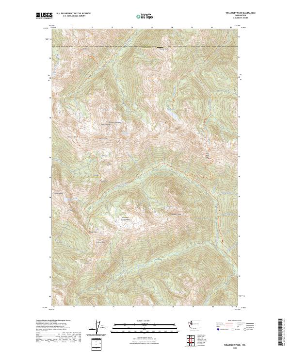
2023 Map of Wellesley Peak
USGS Topo · Published 2023About this map
The Olympic Wilderness and Olympic National Park converge in this high-altitude landscape dominated by the Olympic Mountains. This territory is defined by its glacial activity and drainage patterns, where the Lillian Glacier and Cameron Glaciers feed the headwaters of numerous waterways, including the Lillian River and Cameron Creek. Significant elevations like Mt Cameron, Mt Claywood, and Wellesley Peak create a wall of peaks that have historically dictated the routes of high-mountain travel.
Find a feature on this map
49 named features on this map. Tap any name to fly to it.
Don’t see what you’re looking for? This feature index may not catch every label — zoom into the map to look around manually.
Map Details
Editions of this 2023 Wellesley Peak Map
This is the sole edition of this map. No revisions or reprints were ever made.
Other maps of this area

1938 · Mt Constance
USGS Topo · 1:125,000

1944 · Mt. Angeles
USGS Topo · 1:62,500

1946 · Mt. Angeles
USGS Topo · 1:62,500

1946 · Tyler Peak
USGS Topo · 1:62,500

1947 · The Brothers
USGS Topo · 1:62,500

1947 · Mt. Steel
USGS Topo · 1:62,500

1948 · Tyler Peak
USGS Topo · 1:62,500

1950 · The Brothers
USGS Topo · 1:62,500

1950 · Mt. Steel
USGS Topo · 1:62,500

1958 · Seattle
USGS Topo · 1:250,000