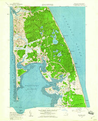
1958 Map of Wellfleet
USGS Topo · Published 1960About this map
Wellfleet Harbor and the outer curve of the Cape Cod peninsula define this late 1950s survey. The landscape is a mosaic of kettle ponds and coastal features, including the complex water system of Gull Pond, Great Pond, and Long Pond. Evidence of mid-century development and military presence is clear, specifically the sprawling U S Military Reservation Camp Wellfleet occupying the eastern shore. Near South Wellfleet, local culture of the era is represented by the Drive-in Theater and the seasonal Camp Mar-Vel.
Find a feature on this map
75 named features on this map. Tap any name to fly to it.
Don’t see what you’re looking for? This feature index may not catch every label — zoom into the map to look around manually.
Map Details
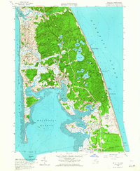
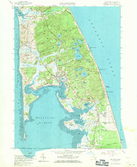
Editions of this 1958 Wellfleet Map
3 editions found
Other maps of this area

1887 · Wellfleet
USGS Topo · 1:62,500

1887 · Provincetown
USGS Topo · 1:62,500

1889 · Provincetown
USGS Topo · 1:62,500

1889 · Wellfleet
USGS Topo · 1:62,500

1893 · Wellfleet
USGS Topo · 1:62,500

1898 · Provincetown
USGS Topo · 1:62,500

1942 · Cape Cod Bay
USGS Topo · 1:125,000

1942 · Nauset
USGS Topo · 1:125,000

1944 · Orleans
USGS Topo · 1:31,680

1944 · Wellfleet
USGS Topo · 1:31,680