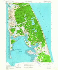
1958 Map of Wellfleet
USGS Topo · Published 1964About this map
Wellfleet and the outer Cape landscape are defined by a complex network of freshwater kettle ponds and tidal marshes in this mid-century survey. The village center is flanked by Duck Harbor to the west and the Atlantic coastline to the east, where several named hollows like Newcomb Hollow and Cahoon Hollow provide access to the beach. The interior terrain is marked by distinct depressions such as Paradise Hollow and Fox Bottom, surrounded by an unusually high density of named water bodies including Gull Pond, Horseleech Pond, and Ryder Pond.
Find a feature on this map
74 named features on this map. Tap any name to fly to it.
Don’t see what you’re looking for? This feature index may not catch every label — zoom into the map to look around manually.
Map Details
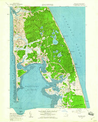
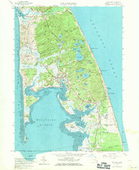
Editions of this 1958 Wellfleet Map
3 editions found
Other maps of this area

1887 · Wellfleet
USGS Topo · 1:62,500

1887 · Provincetown
USGS Topo · 1:62,500

1889 · Provincetown
USGS Topo · 1:62,500

1889 · Wellfleet
USGS Topo · 1:62,500

1893 · Wellfleet
USGS Topo · 1:62,500

1898 · Provincetown
USGS Topo · 1:62,500

1942 · Cape Cod Bay
USGS Topo · 1:125,000

1942 · Nauset
USGS Topo · 1:125,000

1944 · Orleans
USGS Topo · 1:31,680

1944 · Wellfleet
USGS Topo · 1:31,680