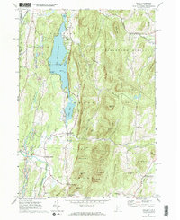
1967 Map of Wells
USGS Topo · Published 1972About this map
Lake St Catherine dominates this landscape, its waters stretching through a narrow valley defined by Pond Mountain and St Catherine Mtn. In the late 1960s, the area reflects a balance between outdoor recreation at Lake St Catherine State Park and the enduring agricultural and industrial roots of Wells and South Poultney. The eastern portion of the map is particularly high-relief, featuring landmarks like The Pinnacle and Barker Mtn, while the southwestern corner transitions toward the Mettawee River valley.
Find a feature on this map
57 named features on this map. Tap any name to fly to it.
Don’t see what you’re looking for? This feature index may not catch every label — zoom into the map to look around manually.
Map Details
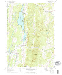
Editions of this 1967 Wells Map
2 editions found
Other maps of this area

1893 · Fort Ann
USGS Topo · 1:62,500

1893 · Whitehall
USGS Topo · 1:62,500

1894 · Pawlet
USGS Topo · 1:62,500

1895 · Whitehall
USGS Topo · 1:62,500

1895 · Fort Ann
USGS Topo · 1:62,500

1895 · Castleton
USGS Topo · 1:62,500

1897 · Pawlet
USGS Topo · 1:62,500

1897 · Castleton
USGS Topo · 1:62,500

1898 · Whitehall
USGS Topo · 1:62,500

1898 · Fort Ann
USGS Topo · 1:62,500