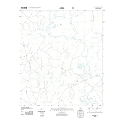
2010 Map of Wells SW
USGS Topo · Published 2010About this map
The Neches River meanders through this landscape, defining a complex system of waterways and low-lying features in East Texas. The settlement of Vair sits near the riverbanks, where the topography is shaped by an intricate network of oxbows and secondary channels like the Old River and Old Channel. This area is characterized by heavy bottomland features including Boggy Slough, Big Bend Slough, and water bodies such as Black Cat Lake and Cole Lake.
Find a feature on this map
25 named features on this map. Tap any name to fly to it.
Don’t see what you’re looking for? This feature index may not catch every label — zoom into the map to look around manually.
Map Details
Editions of this 2010 Wells SW Map
This is the sole edition of this map. No revisions or reprints were ever made.
Other maps of this area

1949 · Clawson
USGS Topo · 1:24,000

1949 · Keltys
USGS Topo · 1:24,000

1950 · Keltys
USGS Topo · 1:24,000

1950 · Clawson
USGS Topo · 1:24,000

1950 · Kennard NE
USGS Topo · 1:24,000

1950 · Centralia
USGS Topo · 1:24,000

1951 · Wells
USGS Topo · 1:24,000

1951 · Wells SW
USGS Topo · 1:24,000

1951 · Centralia
USGS Topo · 1:24,000

1951 · Kennard NE
USGS Topo · 1:24,000