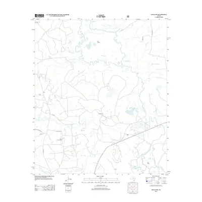
2013 Map of Wells SW
USGS Topo · Published 2013About this map
The Neches River forms a complex hydrologic boundary through this portion of Trinity County, creating a landscape defined by oxbows and secondary channels like Old River and Big Bend Slough. Near the riverbanks, large water bodies such as Black Cat Lake and Cole Lake sit within a network of wetlands that includes Boggy Slough and Cochino Bayou. This terrain, while largely rural, is punctuated by isolated industrial and transport markers, most notably the Raville Siding and the settlement at Vair.
Find a feature on this map
29 named features on this map. Tap any name to fly to it.
Don’t see what you’re looking for? This feature index may not catch every label — zoom into the map to look around manually.
Map Details
Editions of this 2013 Wells SW Map
This is the sole edition of this map. No revisions or reprints were ever made.
Other maps of this area

1949 · Clawson
USGS Topo · 1:24,000

1949 · Keltys
USGS Topo · 1:24,000

1950 · Keltys
USGS Topo · 1:24,000

1950 · Clawson
USGS Topo · 1:24,000

1950 · Kennard NE
USGS Topo · 1:24,000

1950 · Centralia
USGS Topo · 1:24,000

1951 · Wells
USGS Topo · 1:24,000

1951 · Wells SW
USGS Topo · 1:24,000

1951 · Centralia
USGS Topo · 1:24,000

1951 · Kennard NE
USGS Topo · 1:24,000