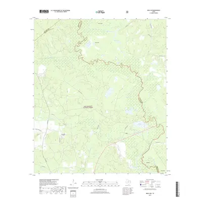
2019 Map of Wells SW
USGS Topo · Published 2019About this map
The Neches River forms a complex, winding boundary through this East Texas landscape, where the confluence of Trinity, Houston, and Angelina counties meets within the Davy Crockett National Forest. The river's path is marked by numerous oxbows and secondary waterways, including the Old Channel and Old River, indicating a dynamic floodplain. Landforms like Pine Island and water bodies such as Black Cat Lake and Cole Lake illustrate the transition from dense forest to riparian wetlands.
Find a feature on this map
31 named features on this map. Tap any name to fly to it.
Don’t see what you’re looking for? This feature index may not catch every label — zoom into the map to look around manually.
Map Details
Editions of this 2019 Wells SW Map
This is the sole edition of this map. No revisions or reprints were ever made.
Other maps of this area

1949 · Clawson
USGS Topo · 1:24,000

1949 · Keltys
USGS Topo · 1:24,000

1950 · Keltys
USGS Topo · 1:24,000

1950 · Clawson
USGS Topo · 1:24,000

1950 · Kennard NE
USGS Topo · 1:24,000

1950 · Centralia
USGS Topo · 1:24,000

1951 · Wells
USGS Topo · 1:24,000

1951 · Wells SW
USGS Topo · 1:24,000

1951 · Centralia
USGS Topo · 1:24,000

1951 · Kennard NE
USGS Topo · 1:24,000