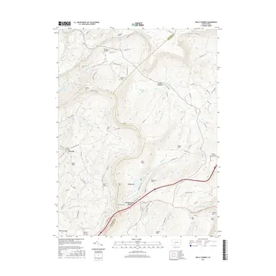
2016 Map of Wells Tannery
USGS Topo · Published 2016About this map
Rays Hill and Sideling Hill dominate this landscape along the border of Bedford and Fulton counties, defining a region of steep ridges and narrow valleys. The settlement of Wells Tannery sits along the Laurel Fork, while the village of Breezewood occupies the southwestern corner of the quadrangle. For genealogists, the map is a detailed record of local burial sites, including the Shermans Valley Church Graveyard and several denominational cemeteries like the Graceville Lutheran Church Cem and Mountain Chapel Church Cem.
Find a feature on this map
93 named features on this map. Tap any name to fly to it.
Don’t see what you’re looking for? This feature index may not catch every label — zoom into the map to look around manually.
Map Details
Editions of this 2016 Wells Tannery Map
This is the sole edition of this map. No revisions or reprints were ever made.
Other maps of this area

1900 · Everett
USGS Topo · 1:62,500

1902 · Everett
USGS Topo · 1:62,500

1925 · Needmore
USGS Topo · 1:48,000

1927 · Clearville
USGS Topo · 1:48,000

1930 · Broad Top
USGS Topo · 1:62,500

1931 · Clearville
USGS Topo · 1:62,500

1933 · Broad Top
USGS Topo · 1:62,500

1935 · Needmore
USGS Topo · 1:62,500

1939 · Needmore
USGS Topo · 1:62,500

1944 · Clearville
USGS Topo · 1:62,500
Featured Places
- Valley-Hi, PA
- East Providence Township, PA
- Graceville, East Providence Township
- Old Mountain House, Brush Creek Township
- Sandy Run, Broad Top Township