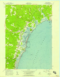
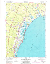
1956 Map of Wells
USGS Topo · Published 1958About this map
Coastal York County reveals a mid-century landscape of established shorefront colonies and inland crossroads. The Webhannet River and Little River systems dictate the settlement pattern, separating the marshy tidal flats from upland farming and residential areas. Key transit corridors, including the Maine Turnpike and the Boston and Maine Railroad, cut through the terrain, connecting inland points like Wells Branch and Wells Beach Station to the broader Atlantic coast. The map identifies numerous specific family-named locations such as Charles Chase Corner, Coles Hill, and Buffum Hill, providing a granular view of local geography.
Find a feature on this map
88 named features on this map. Tap any name to fly to it.
Don’t see what you’re looking for? This feature index may not catch every label — zoom into the map to look around manually.
Map Details
Editions of this 1956 Wells Map
5 editions found
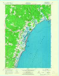
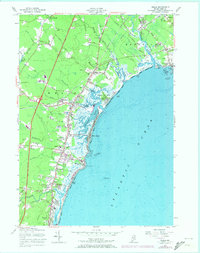
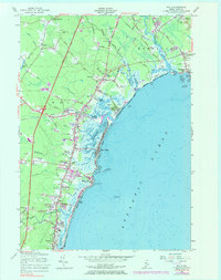
Other maps of this area

1891 · Biddeford
USGS Topo · 1:62,500

1891 · Kennebunk
USGS Topo · 1:62,500

1893 · Kennebunk
USGS Topo · 1:62,500

1893 · York
USGS Topo · 1:62,500

1893 · Biddeford
USGS Topo · 1:62,500

1898 · Kennebunk
USGS Topo · 1:62,500

1920 · York
USGS Topo · 1:62,500

1941 · Biddeford
USGS Topo · 1:62,500

1941 · Kennebunk
USGS Topo · 1:62,500

1944 · Wells
USGS Topo · 1:24,000