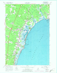
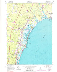
1956 Map of Wells
USGS Topo · Published 1974About this map
The Mousam River and Weehannet River reach the coast in this detailed survey, which tracks the coastal evolution and inland expansion of York County prior to the mid-1970s. The landscape is defined by its series of distinct beach communities, including Wells Beach, Moody Beach, and Kennebunk Beach, separated by tidal rivers and marshes. Evidence of the region’s older agricultural and industrial roots is visible in labels like Wells Branch and Mildram Hill, alongside several Gravel Pits and a Stone Quarry near Ogunquit.
Find a feature on this map
70 named features on this map. Tap any name to fly to it.
Don’t see what you’re looking for? This feature index may not catch every label — zoom into the map to look around manually.
Map Details
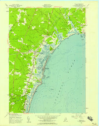
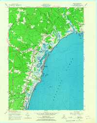
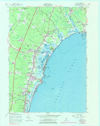
Editions of this 1956 Wells Map
5 editions found
Other maps of this area

1891 · Biddeford
USGS Topo · 1:62,500

1891 · Kennebunk
USGS Topo · 1:62,500

1893 · Kennebunk
USGS Topo · 1:62,500

1893 · York
USGS Topo · 1:62,500

1893 · Biddeford
USGS Topo · 1:62,500

1898 · Kennebunk
USGS Topo · 1:62,500

1920 · York
USGS Topo · 1:62,500

1941 · Biddeford
USGS Topo · 1:62,500

1941 · Kennebunk
USGS Topo · 1:62,500

1944 · Wells
USGS Topo · 1:24,000