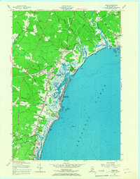
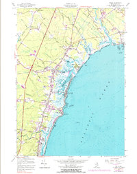
1956 Map of Wells
USGS Topo · Published 1967About this map
Ogunquit and the surrounding coastal reaches of Wells are captured here during a period of postwar growth, anchored by the Maine Turnpike and the Boston and Maine Railroad. The landscape is a distinct blend of maritime leisure and local industry, with the Webhannet Golf Club and the sweeping sands of Moody Beach contrasting against numerous active Gravel Pits and a Stone Quarry. Small residential clusters like Cozy Corners, Elms, and Charles Chase Corner dot the interior, suggesting a lineage of family-named crossroads.
Find a feature on this map
53 named features on this map. Tap any name to fly to it.
Don’t see what you’re looking for? This feature index may not catch every label — zoom into the map to look around manually.
Map Details
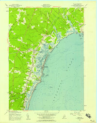
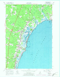
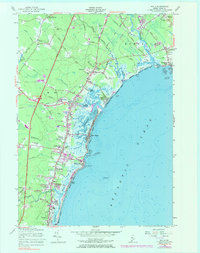
Editions of this 1956 Wells Map
5 editions found
Other maps of this area

1891 · Biddeford
USGS Topo · 1:62,500

1891 · Kennebunk
USGS Topo · 1:62,500

1893 · Kennebunk
USGS Topo · 1:62,500

1893 · York
USGS Topo · 1:62,500

1893 · Biddeford
USGS Topo · 1:62,500

1898 · Kennebunk
USGS Topo · 1:62,500

1920 · York
USGS Topo · 1:62,500

1941 · Biddeford
USGS Topo · 1:62,500

1941 · Kennebunk
USGS Topo · 1:62,500

1944 · Wells
USGS Topo · 1:24,000