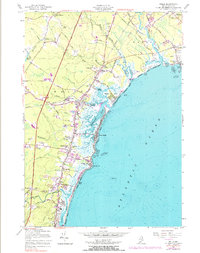
1956 Map of Wells
USGS Topo · Published 1983About this map
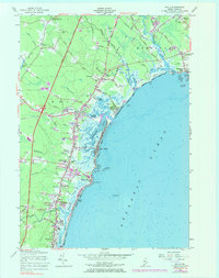
The Mousam River and Webhannet River carve through a tidal landscape where the Maine coast meets the established infrastructure of the mid-20th century. This 1956 revision documents the coastal communities of Wells, Ogunquit, and Kennebunk Beach before the full weight of modern development. The transportation network is a central theme, showing the Maine Turnpike and its Interchange 2 bisecting the inland forests and farms, while the Boston and Maine Railroad serves the shore at Wells Beach Sta. Along the marshlands, features like Upper Landing, Lower Landing, and the Tidal Flat illustrate a shoreline defined by its salt marshes and estuaries. Resource extraction is evident in the numerous Gravel Pits and the Stone Quarry near Ogunquit, while community landmarks such as Ocean View Cem, Kennebunk Airport, and several coastal named corners provide a granular look at the town's social geography.
Find a feature on this map
67 named features on this map. Tap any name to fly to it.
Don’t see what you’re looking for? This feature index may not catch every label — zoom into the map to look around manually.
Map Details
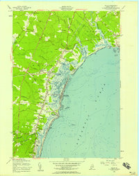
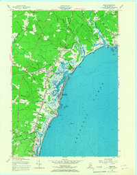
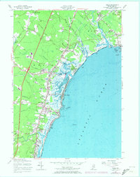
Editions of this 1956 Wells Map
5 editions found
Other maps of this area

1891 · Biddeford
USGS Topo · 1:62,500

1891 · Kennebunk
USGS Topo · 1:62,500

1893 · Kennebunk
USGS Topo · 1:62,500

1893 · York
USGS Topo · 1:62,500

1893 · Biddeford
USGS Topo · 1:62,500

1898 · Kennebunk
USGS Topo · 1:62,500

1920 · York
USGS Topo · 1:62,500

1941 · Biddeford
USGS Topo · 1:62,500

1941 · Kennebunk
USGS Topo · 1:62,500

1944 · Wells
USGS Topo · 1:24,000