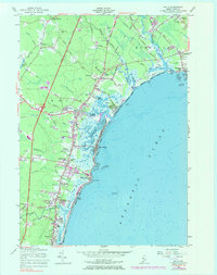
1956 Map of Wells
USGS Topo · Published 1983About this map
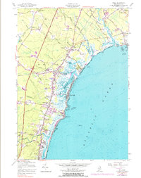
The salt marshes and coastal inlets of the Webhannet River and Mousam River dominate this coastal Maine landscape, showing a region where early agricultural heritage meets mid-century development. Laudholm Farms stands near the shore, illustrating the area's farming history, while the Boston and Maine Railroad and the newly established Maine Turnpike with Interchange 2 highlight the changing transportation patterns of the 1950s. Settlement is concentrated at Wells and along the beaches, with smaller junctions like Charles Chase Corner and Cozy Corners anchoring the inland crossroads. Geologists and local historians can find numerous Gravel Pits and a Stone Quarry near Ogunquit, evidence of the local extraction industries that supported the construction of the turnpike and regional growth.
Find a feature on this map
55 named features on this map. Tap any name to fly to it.
Don’t see what you’re looking for? This feature index may not catch every label — zoom into the map to look around manually.
Map Details
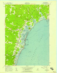
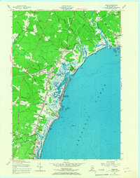
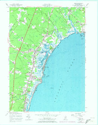
Editions of this 1956 Wells Map
5 editions found
Other maps of this area

1891 · Biddeford
USGS Topo · 1:62,500

1891 · Kennebunk
USGS Topo · 1:62,500

1893 · Kennebunk
USGS Topo · 1:62,500

1893 · York
USGS Topo · 1:62,500

1893 · Biddeford
USGS Topo · 1:62,500

1898 · Kennebunk
USGS Topo · 1:62,500

1920 · York
USGS Topo · 1:62,500

1941 · Biddeford
USGS Topo · 1:62,500

1941 · Kennebunk
USGS Topo · 1:62,500

1944 · Wells
USGS Topo · 1:24,000