Loading...
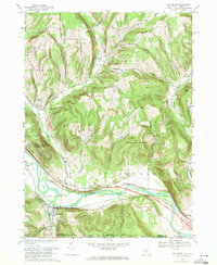
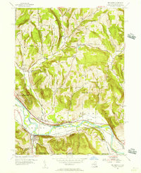
Loading map...1969 Map of Wellsburg
USGS Topo · Published 1984About this map
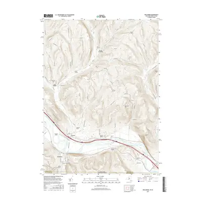
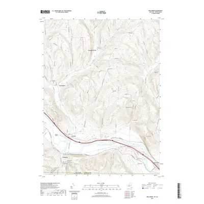
The Chemung River corridor defines this late 1960s landscape, serving as the primary artery for both transportation and settlement. The village of Wellsburg and the hamlet of Lowman sit along the river's banks, connected by the Erie-Lackawanna railroad line. To the north, the terrain rises sharply into a series of ridges and hollows, such as Shoemaker Mountain and Hugg Hollow, which separate small upland communities like North Chemung and Wacombers Corners.
Find a feature on this map
50 named features on this map. Tap any name to fly to it.
Don’t see what you’re looking for? This feature index may not catch every label — zoom into the map to look around manually.
Map Details
Date Portrayed1969
Date Published1984
PublisherU.S. Geological Survey
Map TypeTopographic
Scale1:24,000
Physical Dimensions22 x 26.9 inches
Editions of this 1969 Wellsburg Map
This is the sole edition of this map. No revisions or reprints were ever made.
Historical Maps of Elmira Through Time
7 maps found

Featured Locations
Source Details
SourceU.S. Geological Survey
CopyrightPublic Domain