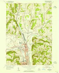
1953 Map of Horseheads
USGS Topo · Published 1955About this map
Horseheads serves as a significant rail and industrial hub in the mid-1950s, where the Pennsylvania, Lehigh Valley, and Erie railroads converge. This post-war survey illustrates the dense infrastructure of the Chemung County valley, from the County Fairgrounds to the northern reaches of Elmira Heights. The landscape is a mix of expanding residential streets and surviving rural districts, marked by a high density of local institutions including School No 7 and the Edison High Sch.
Find a feature on this map
62 named features on this map. Tap any name to fly to it.
Don’t see what you’re looking for? This feature index may not catch every label — zoom into the map to look around manually.
Map Details
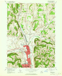
Editions of this 1953 Horseheads Map
2 editions found
Other maps of this area

1893 · Ithaca
USGS Topo · 1:62,500

1895 · Ithaca
USGS Topo · 1:62,500

1895 · Elmira
USGS Topo · 1:62,500

1898 · Watkins Glen
USGS Topo · 1:62,500

1901 · Watkins
USGS Topo · 1:62,500

1902 · Waverly
USGS Topo · 1:62,500

1905 · Watkins Glen
USGS Topo · 1:125,000

1950 · Elmira
USGS Topo · 1:250,000

1950 · Alpine
USGS Topo · 1:24,000

1950 · Montour Falls
USGS Topo · 1:24,000