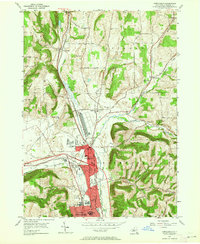
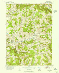
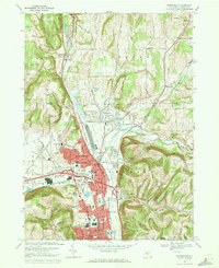
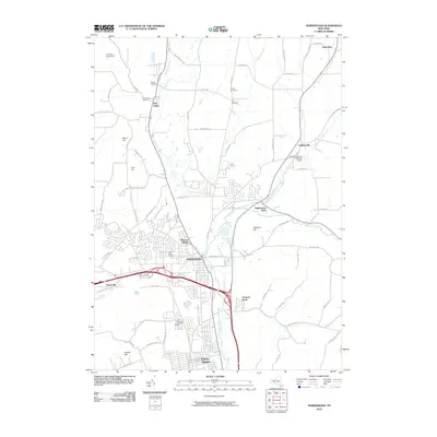
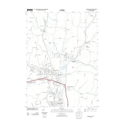
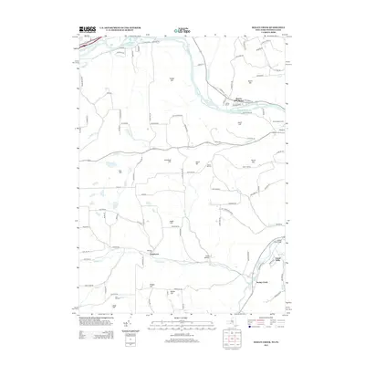
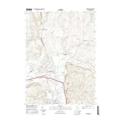
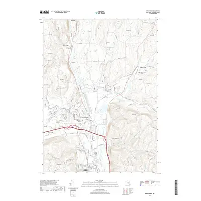
1953 Map of Horseheads
USGS Topo · Published 1964About this map
The village of Horseheads serves as a major transportation junction in this mid-century survey, where the valley floor is etched with the paths of the Pennsylvania and Erie RR. This industrial and transit hub is mirrored by the growth in Elmira Heights, which features landmarks like Edison High Sch and the County Fairgrounds. The landscape still bears the watermark of earlier eras, most notably the long stretch of the Abandoned Canal running parallel to Catharine Creek.
Find a feature on this map
60 named features on this map. Tap any name to fly to it.
Don’t see what you’re looking for? This feature index may not catch every label — zoom into the map to look around manually.
Map Details
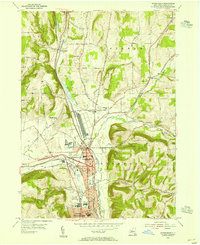
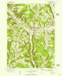
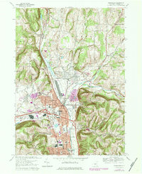
Editions of this 1953 Horseheads Map
2 editions found
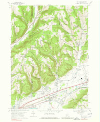
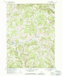
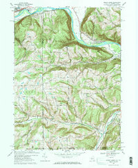
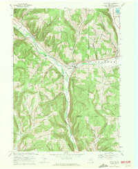
Historical Maps of Horseheads Through Time
36 maps found
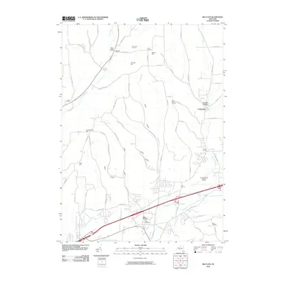
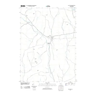
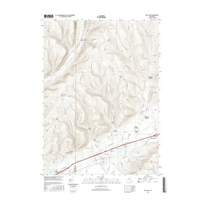
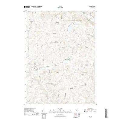
1953 Big Flats
Chemung County, NY
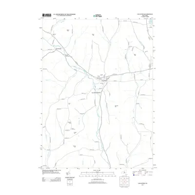
1953 Horseheads
Chemung County, NY
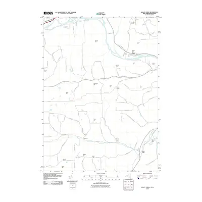
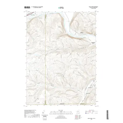
1953 Seeley Creek
Chemung County, NY
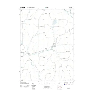
1954 Erin
Chemung County, NY
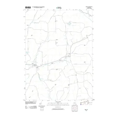
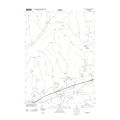
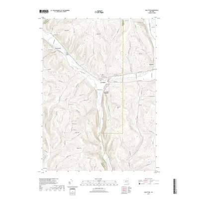
1954 Van Etten
Chemung County, NY
1969 Big Flats
Chemung County, NY
1969 Erin
Chemung County, NY
1969 Horseheads
Chemung County, NY
1969 Seeley Creek
Chemung County, NY
1969 Van Etten
Chemung County, NY
1978 Horseheads
Chemung County, NY
2010 Big Flats
Chemung County, NY
2010 Erin
Chemung County, NY
2010 Horseheads
Chemung County, NY
2010 Seeley Creek
Chemung County, NY
2010 Van Etten
Chemung County, NY
2013 Big Flats
Chemung County, NY
2013 Erin
Chemung County, NY
2013 Horseheads
Chemung County, NY
2013 Seeley Creek
Chemung County, NY
2013 Van Etten
Chemung County, NY
2016 Big Flats
Chemung County, NY
2016 Erin
Chemung County, NY
2016 Horseheads
Chemung County, NY
2016 Seeley Creek
Chemung County, NY
2016 Van Etten
Chemung County, NY
2019 Big Flats
Chemung County, NY
2019 Erin
Chemung County, NY
2019 Horseheads
Chemung County, NY
2019 Seeley Creek
Chemung County, NY
2019 Van Etten
Chemung County, NY

2023 Big Flats
Chemung County, NY

2023 Erin
Chemung County, NY

2023 Horseheads
Chemung County, NY

2023 Seeley Creek
Chemung County, NY

2023 Van Etten
Chemung County, NY