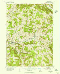
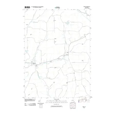
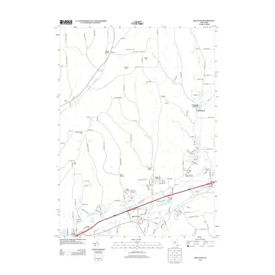
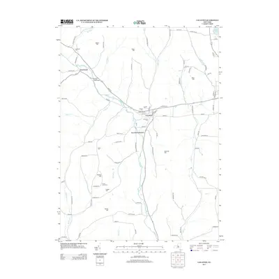
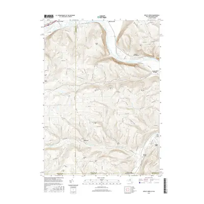
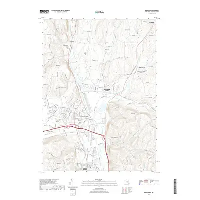
1954 Map of Van Etten
USGS Topo · Published 1956About this map
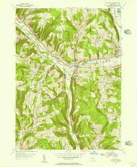
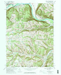
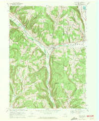
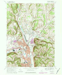
The Lehigh Valley railroad cuts a decisive path through this mid-century landscape, following the low-lying terrain of Cayuta Creek as it passes through the villages of Van Etten and Spencer. This 1954 field check captures the area’s post-war rural character, where small clusters of settlement like Swartwood and Rodbourn are linked by a network of winding roads named for the families who settled the surrounding uplands.
Find a feature on this map
48 named features on this map. Tap any name to fly to it.
Don’t see what you’re looking for? This feature index may not catch every label — zoom into the map to look around manually.
Map Details
Editions of this 1954 Van Etten Map
This is the sole edition of this map. No revisions or reprints were ever made.
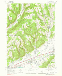
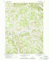
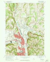
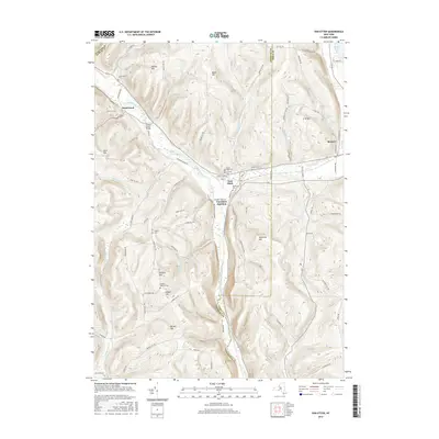
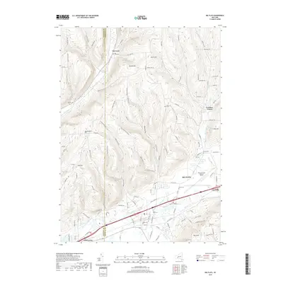
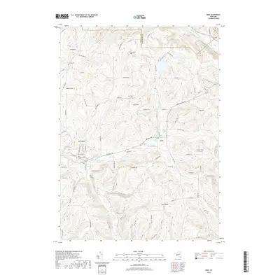
Historical Maps of Barton Through Time
36 maps found
1953 Big Flats
Chemung County, NY
1953 Horseheads
Chemung County, NY
1953 Seeley Creek
Chemung County, NY
1954 Erin
Chemung County, NY
1954 Van Etten
Chemung County, NY
1969 Big Flats
Chemung County, NY
1969 Erin
Chemung County, NY
1969 Horseheads
Chemung County, NY
1969 Seeley Creek
Chemung County, NY
1969 Van Etten
Chemung County, NY
1978 Horseheads
Chemung County, NY
2010 Big Flats
Chemung County, NY
2010 Erin
Chemung County, NY
2010 Horseheads
Chemung County, NY
2010 Seeley Creek
Chemung County, NY
2010 Van Etten
Chemung County, NY
2013 Big Flats
Chemung County, NY
2013 Erin
Chemung County, NY
2013 Horseheads
Chemung County, NY
2013 Seeley Creek
Chemung County, NY
2013 Van Etten
Chemung County, NY
2016 Big Flats
Chemung County, NY
2016 Erin
Chemung County, NY
2016 Horseheads
Chemung County, NY
2016 Seeley Creek
Chemung County, NY
2016 Van Etten
Chemung County, NY
2019 Big Flats
Chemung County, NY
2019 Erin
Chemung County, NY
2019 Horseheads
Chemung County, NY
2019 Seeley Creek
Chemung County, NY
2019 Van Etten
Chemung County, NY

2023 Big Flats
Chemung County, NY

2023 Erin
Chemung County, NY

2023 Horseheads
Chemung County, NY

2023 Seeley Creek
Chemung County, NY

2023 Van Etten
Chemung County, NY