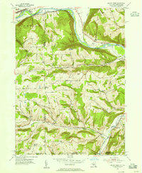
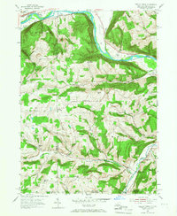
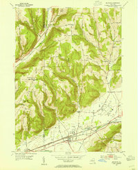
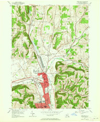
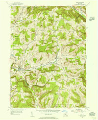
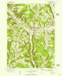
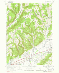
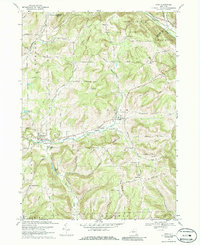
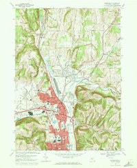
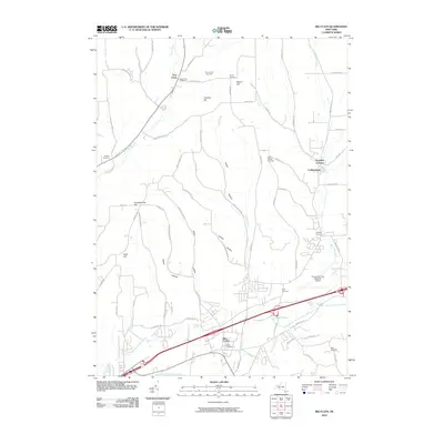
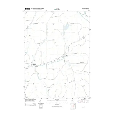
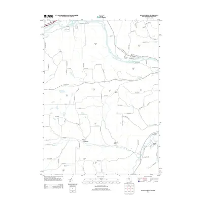
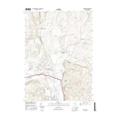
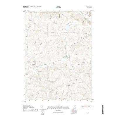
1953 Map of Seeley Creek
USGS Topo · Published 1967About this map
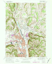
The Chemung River valley defines the northern edge of this survey, where the Erie RR and a substantial Power Plant support the industrial corridor near East Corning. To the south, the landscape transitions into a network of steep ridges and creek valleys, characterized by a high concentration of rural educational landmarks such as School No 11 and the Hittown Sch. This 1950s documentation captures the area before modern development, preserving the locations of the Mt Savior Monastery and specialized local sites like the Glider Field and a Drive-in Theater along the river road.
Find a feature on this map
54 named features on this map. Tap any name to fly to it.
Don’t see what you’re looking for? This feature index may not catch every label — zoom into the map to look around manually.
Map Details
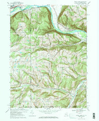
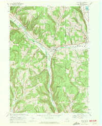
Editions of this 1953 Seeley Creek Map
2 editions found
Historical Maps of Southport Through Time
36 maps found
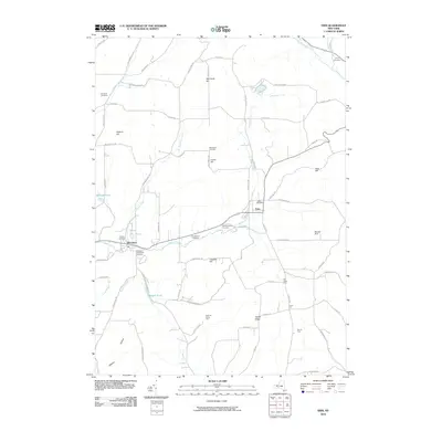
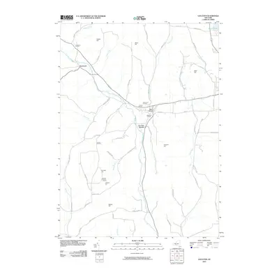
1953 Big Flats
Chemung County, NY
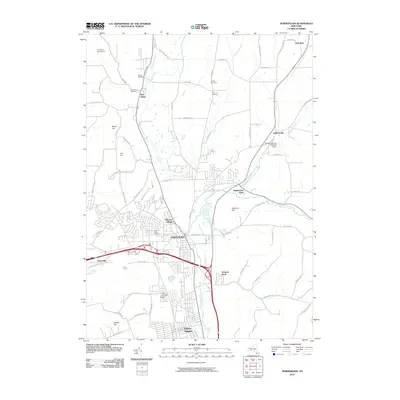
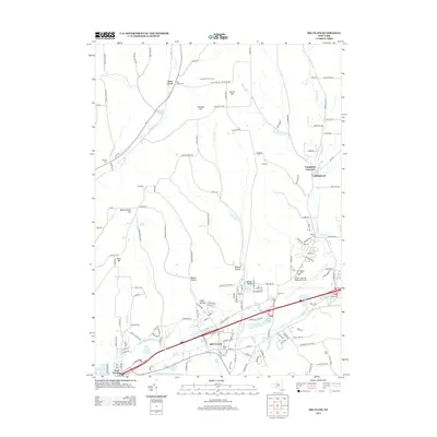
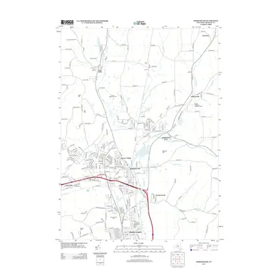
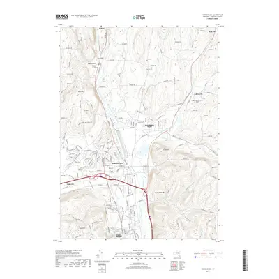
1953 Horseheads
Chemung County, NY
1953 Seeley Creek
Chemung County, NY
1954 Erin
Chemung County, NY
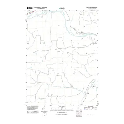
1954 Van Etten
Chemung County, NY
1969 Big Flats
Chemung County, NY
1969 Erin
Chemung County, NY
1969 Horseheads
Chemung County, NY
1969 Seeley Creek
Chemung County, NY
1969 Van Etten
Chemung County, NY
1978 Horseheads
Chemung County, NY
2010 Big Flats
Chemung County, NY
2010 Erin
Chemung County, NY
2010 Horseheads
Chemung County, NY
2010 Seeley Creek
Chemung County, NY
2010 Van Etten
Chemung County, NY
2013 Big Flats
Chemung County, NY
2013 Erin
Chemung County, NY
2013 Horseheads
Chemung County, NY
2013 Seeley Creek
Chemung County, NY
2013 Van Etten
Chemung County, NY
2016 Big Flats
Chemung County, NY
2016 Erin
Chemung County, NY
2016 Horseheads
Chemung County, NY
2016 Seeley Creek
Chemung County, NY
2016 Van Etten
Chemung County, NY
2019 Big Flats
Chemung County, NY
2019 Erin
Chemung County, NY
2019 Horseheads
Chemung County, NY
2019 Seeley Creek
Chemung County, NY
2019 Van Etten
Chemung County, NY

2023 Big Flats
Chemung County, NY

2023 Erin
Chemung County, NY

2023 Horseheads
Chemung County, NY

2023 Seeley Creek
Chemung County, NY

2023 Van Etten
Chemung County, NY