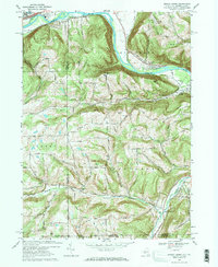
1969 Map of Seeley Creek
USGS Topo · Published 1984About this map
Mount Saviour Monastery sits atop the heights above the Chemung River, overlooking a landscape defined by sharp ridges and narrow creek valleys during the late 1960s. The northern portion of the map is dominated by the industrial and transport infrastructure of the Corning area, including the Erie-Lackawanna railroad and a large riverside Powerplant. Modern entertainment and aviation are represented by the Drive-in Theater and the Harris Hill Gliderport, reflecting the post-war development of the Chemung Valley.
Find a feature on this map
57 named features on this map. Tap any name to fly to it.
Don’t see what you’re looking for? This feature index may not catch every label — zoom into the map to look around manually.
Map Details
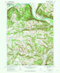
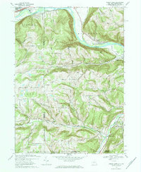
Editions of this 1969 Seeley Creek Map
3 editions found
Other maps of this area

1895 · Elmira
USGS Topo · 1:62,500

1900 · Tioga
USGS Topo · 1:62,500

1902 · Tioga
USGS Topo · 1:62,500

1905 · Watkins Glen
USGS Topo · 1:125,000

1914 · Corning
USGS Topo · 1:62,500

1931 · Troy
USGS Topo · 1:48,000

1938 · Troy
USGS Topo · 1:62,500

1944 · Corning
USGS Topo · 1:62,500

1950 · Elmira
USGS Topo · 1:250,000
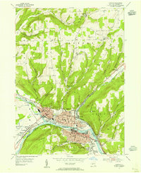
1953 · Corning
USGS Topo · 1:24,000