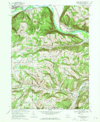
1969 Map of Seeley Creek
USGS Topo · Published 1971About this map
The Chemung River valley dominates this late 1960s landscape, serving as a corridor for the Erie-Lackawanna railroad and power infrastructure near East Corning. To the south, the terrain rises into a series of named ridges including Steege Hill and Cleveland Hill, where small settlements like Sagetown and Webb Mills are located along the winding valley of Seeley Creek. The map documents a blend of monastic life and mid-century recreation, featuring the Mount Saviour Monastery atop a high ridge and the Drive-in Theater near Harris Hill Manor. Genealogists will find value in local landmarks such as Dutch Hill Cem and Kelly Hill Cem, while the intricate contouring reveals the complex drainage patterns of Mudlick Creek and Birch Creek as they cut through the highlands of Southport and Caton toward the Pennsylvania border.
Find a feature on this map
64 named features on this map. Tap any name to fly to it.
Don’t see what you’re looking for? This feature index may not catch every label — zoom into the map to look around manually.
Map Details
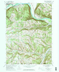
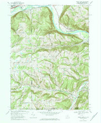
Editions of this 1969 Seeley Creek Map
3 editions found
Other maps of this area

1895 · Elmira
USGS Topo · 1:62,500

1900 · Tioga
USGS Topo · 1:62,500

1902 · Tioga
USGS Topo · 1:62,500

1905 · Watkins Glen
USGS Topo · 1:125,000

1914 · Corning
USGS Topo · 1:62,500

1931 · Troy
USGS Topo · 1:48,000

1938 · Troy
USGS Topo · 1:62,500

1944 · Corning
USGS Topo · 1:62,500

1950 · Elmira
USGS Topo · 1:250,000
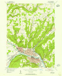
1953 · Corning
USGS Topo · 1:24,000