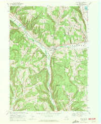
1969 Map of Van Etten
USGS Topo · Published 1971About this map
Van Etten and Spencer serve as the primary hubs in this valley landscape, where the Lehigh Valley Railroad dictates the movement of people and commerce. The geography is defined by the convergence of steep terrain like Nobles Hill and West Hill around the winding path of Cayuta Creek. Local history is preserved in a network of family and community burial grounds, including Swartwood Cem, Mt Hope Cem, and Westbrook Cem, which are tucked along the base of the ridges. The transition from industrial rail infrastructure at Van Etten Junction to the quiet waters of Spencer Lake illustrates the mixed character of the southern Finger Lakes region during this era. Scattered Gas Wells and several pipelines crossing through Doolittle Hill indicate the presence of energy extraction alongside traditional agriculture and small-town settlement patterns.
Find a feature on this map
46 named features on this map. Tap any name to fly to it.
Don’t see what you’re looking for? This feature index may not catch every label — zoom into the map to look around manually.
Map Details
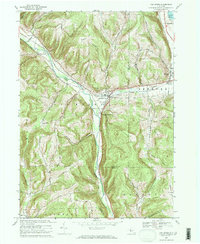
Editions of this 1969 Van Etten Map
2 editions found
Other maps of this area

1893 · Ithaca
USGS Topo · 1:62,500

1895 · Ithaca
USGS Topo · 1:62,500

1900 · Dryden
USGS Topo · 1:62,500

1902 · Waverly
USGS Topo · 1:62,500

1903 · Owego
USGS Topo · 1:62,500

1905 · Watkins Glen
USGS Topo · 1:125,000

1906 · Catatonk
USGS Topo · 1:125,000

1949 · Willseyville
USGS Topo · 1:24,000

1950 · Elmira
USGS Topo · 1:250,000

1950 · Alpine
USGS Topo · 1:24,000