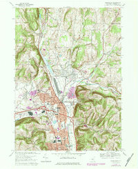
1978 Map of Horseheads
USGS Topo · Published 1984About this map
Horseheads and Elmira Heights serve as the primary hubs of development in this southern tier landscape, where the Conrail rail lines and modern highway infrastructure intersect. The transition from industrial corridors to residential neighborhoods is marked by a dense concentration of civic and spiritual institutions, including Our Saviours Ch and Oakwood Ch. The geography is defined by the northward flow of Catharine Creek and the eastern drainage of North Branch Newtown Creek through the gap near Bowman Hill. Local genealogy is well-supported by numerous documented burial grounds such as St Nicholas Cem and Maple Grove Cem. Further north, the landscape shifts toward rural terrain in Veteran and Catlin, showing the expansion of Gravel Pits and the Army and Navy Reserve Center near the valley floor.
Find a feature on this map
42 named features on this map. Tap any name to fly to it.
Don’t see what you’re looking for? This feature index may not catch every label — zoom into the map to look around manually.
Map Details
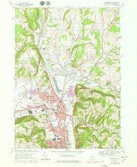
Editions of this 1978 Horseheads Map
2 editions found
Other maps of this area

1893 · Ithaca
USGS Topo · 1:62,500

1895 · Ithaca
USGS Topo · 1:62,500

1895 · Elmira
USGS Topo · 1:62,500

1898 · Watkins Glen
USGS Topo · 1:62,500

1901 · Watkins
USGS Topo · 1:62,500

1902 · Waverly
USGS Topo · 1:62,500

1905 · Watkins Glen
USGS Topo · 1:125,000

1950 · Elmira
USGS Topo · 1:250,000

1950 · Alpine
USGS Topo · 1:24,000

1950 · Montour Falls
USGS Topo · 1:24,000