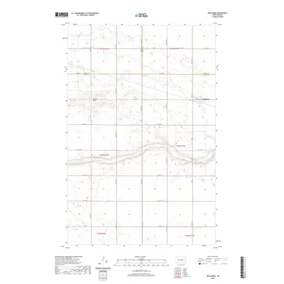
2020 Map of Wellsburg
USGS Topo · Published 2020About this map
Butte de Morale stands as a prominent topographical landmark in this rural landscape where the Sheyenne River cuts a winding path through the central plains. The settlement of Wellsburg is situated near the eastern edge of the survey, serving as a focal point for the surrounding agricultural sections. This 2020 map documents the precise convergence of three North Dakota counties—Wells, Pierce, and Benson—marking a significant administrative junction. The area is defined by its rectilinear section lines and a grid of rural routes including 31st St NE and 30th Ave NE. The Sheyenne River corridor provides a natural break in the otherwise strictly surveyed township and range system, showing the persistent influence of water on local land use.
Find a feature on this map
23 named features on this map. Tap any name to fly to it.
Don’t see what you’re looking for? This feature index may not catch every label — zoom into the map to look around manually.
Map Details
Editions of this 2020 Wellsburg Map
This is the sole edition of this map. No revisions or reprints were ever made.
Other maps of this area

1941 · Selz
USGS Topo · 1:62,500

1943 · Maddock
USGS Topo · 1:62,500

1945 · Maddock
USGS Topo · 1:62,500

1945 · Manfred
USGS Topo · 1:62,500

1948 · Fessenden
USGS Topo · 1:62,500

1948 · Manfred
USGS Topo · 1:62,500

1949 · Fessenden West
USGS Topo · 1:24,000

1950 · Wellsburg
USGS Topo · 1:24,000

1950 · Manfred NW
USGS Topo · 1:24,000

1950 · Manfred
USGS Topo · 1:24,000