
2022 Map of Wellston
USGS Topo · Published 2022About this map
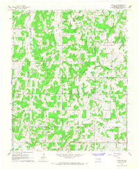
The town of Wellston sits at a crossroads of Lincoln County topography, defined by the winding course of the Deep Fork river and the intersecting paths of the Turner Turnpike and Route 66. This recent survey captures the modern landscape of central Oklahoma, where the grid-based road system, including Fallis Rd and Cemetery Rd, overlays a complex network of tributaries such as Captain Cr and Spring Cr.
Find a feature on this map
50 named features on this map. Tap any name to fly to it.
Don’t see what you’re looking for? This feature index may not catch every label — zoom into the map to look around manually.
Map Details
Editions of this 2022 Wellston Map
This is the sole edition of this map. No revisions or reprints were ever made.
Other maps of this area

1905 · Chandler
USGS Topo · 1:62,500

1907 · Chandler
USGS Topo · 1:62,500

1908 · Agra
USGS Topo · 1:62,500

1909 · Luther
USGS Topo · 1:62,500

1909 · Perkins
USGS Topo · 1:62,500

1954 · Oklahoma City
USGS Topo · 1:250,000

1956 · Horseshoe Lake
USGS Topo · 1:24,000

1957 · Oklahoma City
USGS Topo · 1:250,000

1963 · Oklahoma City
USGS Topo · 1:250,000
1966 · Luther SE
USGS Topo · 1:24,000