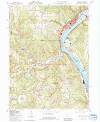
2023 Map of Wellsville
USGS Topo · Published 2023About this map
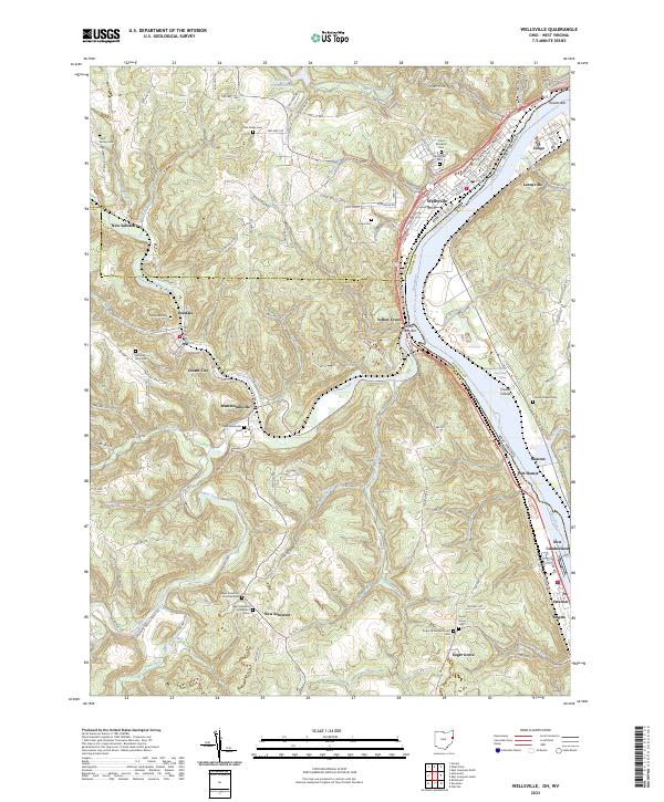
Wellsville sits prominently along the Ohio River where Ohio, West Virginia, and Pennsylvania borders converge, marking a significant riverfront settlement in the upper Ohio Valley. The landscape is deeply carved by water, with Yellow Creek and its many tributaries, such as Brush Creek and North Fork Yellow Creek, cutting through the terrain to feed the main river channel. This network of valleys historically dictated the placement of small communities like Hammondsville, Irondale, and New Somerset.
Find a feature on this map
82 named features on this map. Tap any name to fly to it.
Don’t see what you’re looking for? This feature index may not catch every label — zoom into the map to look around manually.
Map Details
Editions of this 2023 Wellsville Map
This is the sole edition of this map. No revisions or reprints were ever made.
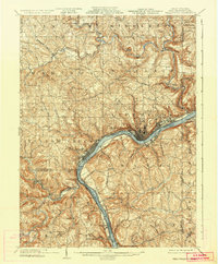
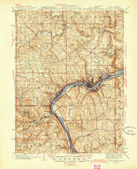
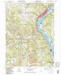
Historical Maps of Yellow Creek Through Time
6 maps found