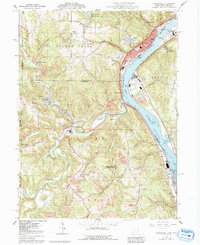
1960 Map of Wellsville
USGS Topo · Published 1992About this map
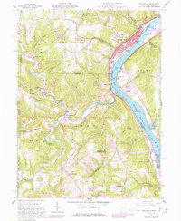
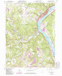
Wellsville and its industrial riverfront dominate this 1960 topographic survey along the Ohio River, where the Conrail line snakes past the Wellsville City Pumping Station and the Sewage Disposal facility. This era shows a landscape defined by heavy extraction and regional transport, with numerous Strip Mines and a Quarry dotting the hills above the river valley. The confluence of Yellow Creek and the Ohio serves as a focal point for several smaller communities, including Congo and Lennyville, while the New Cumberland Lock and Dam downstream near Stratton regulates the river's commercial traffic.
Find a feature on this map
81 named features on this map. Tap any name to fly to it.
Don’t see what you’re looking for? This feature index may not catch every label — zoom into the map to look around manually.
Map Details
Editions of this 1960 Wellsville Map
6 editions found
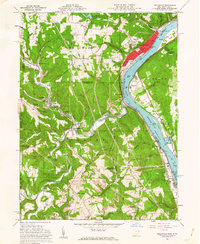
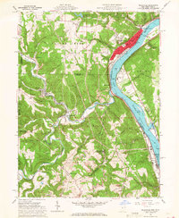
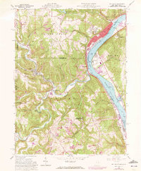
Other maps of this area

1901 · Cadiz
USGS Topo · 1:62,500

1903 · Cadiz
USGS Topo · 1:62,500

1904 · Wellsville
USGS Topo · 1:62,500

1904 · Steubenville
USGS Topo · 1:62,500

1905 · Salineville
USGS Topo · 1:62,500

1935 · Steubenville
USGS Topo · 1:62,500

1937 · Wellsville
USGS Topo · 1:62,500

1942 · Steubenville
USGS Topo · 1:62,500

1944 · Wellsville
USGS Topo · 1:62,500

1951 · Canton
USGS Topo · 1:250,000