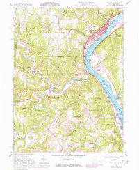
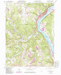
1960 Map of Wellsville
USGS Topo · Published 1978About this map
Industrial activity along the Ohio River defines this region during the mid-twentieth century, as coal extraction and river commerce intersect near the borders of Ohio and West Virginia. The riverfront is dominated by the Penn Central rail lines serving settlements like Wellsville and Stratton, while a series of strip mines and oil wells mark the rugged interior. These mining operations are particularly concentrated around New Somerset and south of Yellow Creek, reflecting the heavy extraction economy that shaped the local landscape and provided the industrial base for the Ohio River Valley.
Find a feature on this map
81 named features on this map. Tap any name to fly to it.
Don’t see what you’re looking for? This feature index may not catch every label — zoom into the map to look around manually.
Map Details
Editions of this 1960 Wellsville Map
6 editions found
Other maps of this area

1901 · Cadiz
USGS Topo · 1:62,500

1903 · Cadiz
USGS Topo · 1:62,500

1904 · Wellsville
USGS Topo · 1:62,500

1904 · Steubenville
USGS Topo · 1:62,500

1905 · Salineville
USGS Topo · 1:62,500

1935 · Steubenville
USGS Topo · 1:62,500

1937 · Wellsville
USGS Topo · 1:62,500

1942 · Steubenville
USGS Topo · 1:62,500

1944 · Wellsville
USGS Topo · 1:62,500

1951 · Canton
USGS Topo · 1:250,000