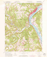
1960 Map of Wellsville
USGS Topo · Published 1972About this map
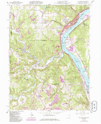
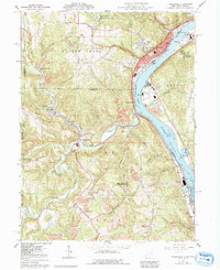
Wellsville and its industrial riverfront dominate the upper reach of the Ohio River in this survey, showcasing a landscape defined by the intersection of water, rail, and extraction. The Penn Central railroad tracks parallel the river, connecting riverside communities like Port Homer, Stratton, and Empire. Inland from the river's edge, the terrain is deeply dissected by drainage systems such as Yellow Creek and Brush Creek, where numerous strip mines and a Quarry indicate the area's heavy reliance on the land's mineral resources.
Find a feature on this map
87 named features on this map. Tap any name to fly to it.
Don’t see what you’re looking for? This feature index may not catch every label — zoom into the map to look around manually.
Map Details
Editions of this 1960 Wellsville Map
6 editions found
Other maps of this area

1901 · Cadiz
USGS Topo · 1:62,500

1903 · Cadiz
USGS Topo · 1:62,500

1904 · Wellsville
USGS Topo · 1:62,500

1904 · Steubenville
USGS Topo · 1:62,500

1905 · Salineville
USGS Topo · 1:62,500

1935 · Steubenville
USGS Topo · 1:62,500

1937 · Wellsville
USGS Topo · 1:62,500

1942 · Steubenville
USGS Topo · 1:62,500

1944 · Wellsville
USGS Topo · 1:62,500

1951 · Canton
USGS Topo · 1:250,000