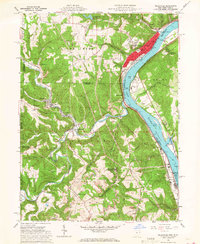
1960 Map of Wellsville
USGS Topo · Published 1968About this map
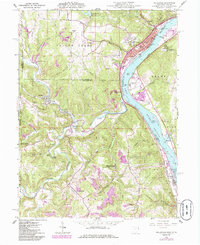
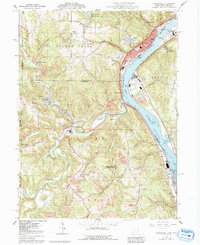
The Ohio River corridor serves as the industrial and transit backbone for this region of eastern Ohio and the West Virginia panhandle during the early 1960s. Wellsville dominates the riverbank, its grid dense with landmarks like Central Park, the Fire Station Library, and Hammond Park. Along the water, the Pennsylvania railroad follows the curve of the river, passing through smaller communities like Port Homer, Stratton, and Empire.
Find a feature on this map
73 named features on this map. Tap any name to fly to it.
Don’t see what you’re looking for? This feature index may not catch every label — zoom into the map to look around manually.
Map Details
Editions of this 1960 Wellsville Map
6 editions found
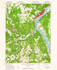
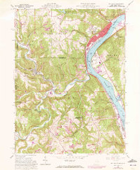
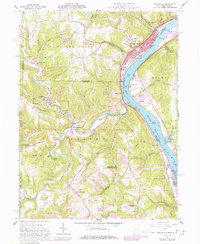
Other maps of this area

1901 · Cadiz
USGS Topo · 1:62,500

1903 · Cadiz
USGS Topo · 1:62,500

1904 · Wellsville
USGS Topo · 1:62,500

1904 · Steubenville
USGS Topo · 1:62,500

1905 · Salineville
USGS Topo · 1:62,500

1935 · Steubenville
USGS Topo · 1:62,500

1937 · Wellsville
USGS Topo · 1:62,500

1942 · Steubenville
USGS Topo · 1:62,500

1944 · Wellsville
USGS Topo · 1:62,500

1951 · Canton
USGS Topo · 1:250,000