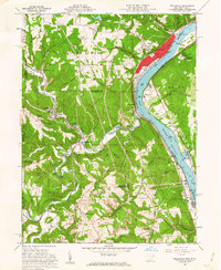
1960 Map of Wellsville
USGS Topo · Published 1962About this map
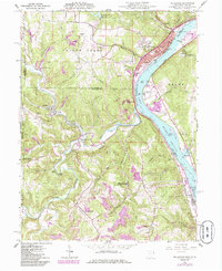
Yellow Creek snakes through the heart of this industrial and coal-producing landscape, carving a deep valley as it flows toward the Ohio River. The riverbank is dominated by the town of Wellsville, where the Pennsylvania railroad corridor supports a concentrated urban core featuring Central Park and a combined Fire Station Library. Across the water in West Virginia, the terrain remains largely undeveloped, defined by landmarks like Baker Island and Waterford Park.
Find a feature on this map
76 named features on this map. Tap any name to fly to it.
Don’t see what you’re looking for? This feature index may not catch every label — zoom into the map to look around manually.
Map Details
Editions of this 1960 Wellsville Map
6 editions found
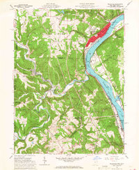
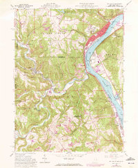
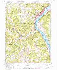
Other maps of this area

1901 · Cadiz
USGS Topo · 1:62,500

1903 · Cadiz
USGS Topo · 1:62,500

1904 · Wellsville
USGS Topo · 1:62,500

1904 · Steubenville
USGS Topo · 1:62,500

1905 · Salineville
USGS Topo · 1:62,500

1935 · Steubenville
USGS Topo · 1:62,500

1937 · Wellsville
USGS Topo · 1:62,500

1942 · Steubenville
USGS Topo · 1:62,500

1944 · Wellsville
USGS Topo · 1:62,500

1951 · Canton
USGS Topo · 1:250,000