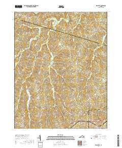
2019 Map of Wellville
USGS Topo · Published 2019About this map
Wellville and North Wellville anchor the southern portion of this Southside Virginia landscape, situated within a network of historic rural crossroads and branching waterways. The terrain is defined by the headwaters and tributaries of several prominent creeks, including the winding course of Deep Creek and the southern reaches of Cellar Creek. Further north, the small settlements of Spainville and Earls mark the intersection of long-established country roads like Military Rd and Namozine Rd, which trace the high ground between drainage basins. A concentrated point of genealogical interest is found at Bethel Cem near the western boundary. The map captures a transitional landscape where timber tracts and small farms are bisected by numerous named runs such as Spindlers Run and Hawks Br, alongside the quiet waters of Lake Lee.
Find a feature on this map
67 named features on this map. Tap any name to fly to it.
Don’t see what you’re looking for? This feature index may not catch every label — zoom into the map to look around manually.
Map Details
Editions of this 2019 Wellville Map
This is the sole edition of this map. No revisions or reprints were ever made.
Other maps of this area

1891 · Farmville
USGS Topo · 1:125,000

1893 · Farmville
USGS Topo · 1:125,000

1897 · Amelia
USGS Topo · 1:125,000

1943 · Amelia
USGS Topo · 1:31,680

1943 · Goodes Bridge
USGS Topo · 1:31,680

1943 · Richmond
USGS Topo · 1:250,000

1947 · Roanoke
USGS Topo · 1:250,000

1949 · Richmond
USGS Topo · 1:250,000
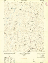
1950 · Wellville
USGS Topo · 1:24,000
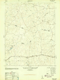
1950 · Hebron
USGS Topo · 1:24,000