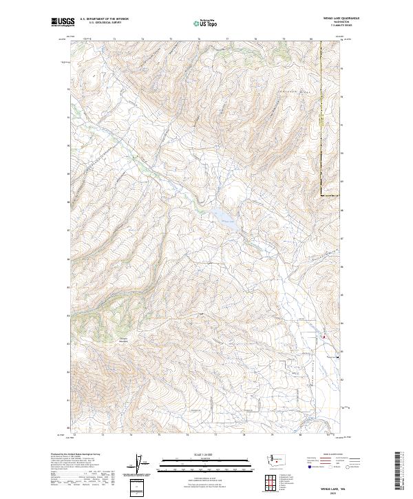
2023 Map of Wenas Lake
USGS Topo · Published 2023About this map
Wenas Valley serves as a distinct agricultural and topographical corridor between Umtanum Ridge and the heights of Cleman Mountain. This modern survey reveals a landscape where historical land divisions and newer residential access roads like Suzanna Dr and Wildlife Vista Rd overlay the natural drainage basins of Wenas Creek and Dry Creek. The presence of the Wenas Cem near the intersection of Sisk Rd and Longmire Ln provides a focal point for genealogists and local historians tracking early settlement patterns in this part of Yakima County.
Find a feature on this map
45 named features on this map. Tap any name to fly to it.
Don’t see what you’re looking for? This feature index may not catch every label — zoom into the map to look around manually.
Map Details
Editions of this 2023 Wenas Lake Map
This is the sole edition of this map. No revisions or reprints were ever made.
Other maps of this area

1899 · Ellensburg
USGS Topo · 1:125,000

1901 · Ellensburg
USGS Topo · 1:125,000

1950 · Yakima
USGS Topo · 1:250,000
1958 · Ellensburg South
USGS Topo · 1:24,000

1958 · Ellensburg
USGS Topo · 1:62,500
1958 · Selah
USGS Topo · 1:24,000

1958 · Naches
USGS Topo · 1:24,000

1958 · Yakima
USGS Topo · 1:250,000

1961 · Yakima
USGS Topo · 1:250,000
1971 · Milk Canyon
USGS Topo · 1:24,000