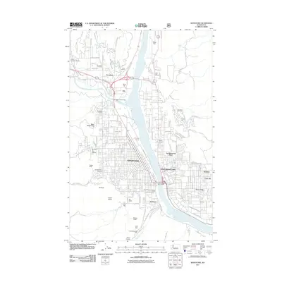
2011 Map of Wenatchee
USGS Topo · Published 2011About this map
The Columbia River divides the urban centers of Wenatchee and East Wenatchee in this 2011 survey, revealing a landscape defined by significant industrial footprints and complex topography. The map details the southern industrial sector of Appleyard and the local mining history preserved at Cannon Mine and Golden King Mine near Rooster Comb. To the north, the transition from urban density to agricultural and suburban development is marked by Sunnyslope and the open spaces of Birch Flat and Baker Flats.
Find a feature on this map
38 named features on this map. Tap any name to fly to it.
Don’t see what you’re looking for? This feature index may not catch every label — zoom into the map to look around manually.
Map Details
Editions of this 2011 Wenatchee Map
This is the sole edition of this map. No revisions or reprints were ever made.
Other maps of this area

1901 · Chelan
USGS Topo · 1:125,000

1912 · Malaga
USGS Topo · 1:48,000

1913 · Wenatchee
USGS Topo · 1:62,500

1914 · Malaga
USGS Topo · 1:62,500

1915 · Wenatchee
USGS Topo · 1:62,500

1920 · Colockum Pass
USGS Topo · 1:125,000

1922 · Colockum Pass
USGS Topo · 1:125,000

1957 · Wenatchee
USGS Topo · 1:250,000

1966 · Rock Island
USGS Topo · 1:24,000

1966 · Wenatchee
USGS Topo · 1:24,000