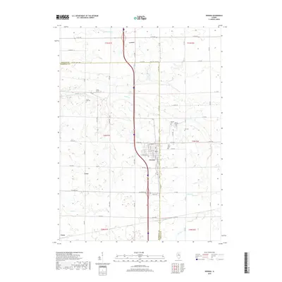
2018 Map of Wenona
USGS Topo · Published 2018About this map
Wenona serves as a primary hub within this central Illinois landscape, straddling the county line between Marshall and LaSalle counties. The town's grid is clearly defined, with streets like W 3rd North St and W 3rd South St framing the central community. This survey provides a precise layout of rural life, showcasing several burial grounds that hold generations of local history, including Wenona Community Cem, Bethany Cem, and Saint Mary's Ch. The drainage patterns of the area are dictated by Sandy Cr and its tributaries, which wind through the agricultural lands surrounding the smaller settlements of Lostant, Evans, and the northern edge of Toluca. To the west of the main transit corridors, the Foote Airport represents a small but distinct landmark in this largely agrarian expanse.
Find a feature on this map
48 named features on this map. Tap any name to fly to it.
Don’t see what you’re looking for? This feature index may not catch every label — zoom into the map to look around manually.
Map Details
Editions of this 2018 Wenona Map
This is the sole edition of this map. No revisions or reprints were ever made.
Other maps of this area

1925 · Streator
USGS Topo · 1:62,500

1927 · Streator
USGS Topo · 1:62,500

1934 · Wenona
USGS Topo · 1:48,000

1939 · Wenona
USGS Topo · 1:62,500

1955 · Minonk
USGS Topo · 1:62,500

1958 · Flanagan
USGS Topo · 1:62,500

1958 · Aurora
USGS Topo · 1:250,000

1958 · Peoria
USGS Topo · 1:250,000

1961 · Aurora
USGS Topo · 1:250,000

1961 · Peoria
USGS Topo · 1:250,000