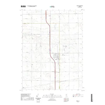
2021 Map of Wenona
USGS Topo · Published 2021About this map
Wenona serves as the central hub of this agricultural landscape along the LaSalle and Marshall County border, where the grid of rural roads meets the corridor of Interstate 39. This 2021 survey illustrates the contemporary settlement patterns of the Illinois prairie, capturing the small communities of Lostant to the north and the outskirts of Toluca in the southwest. The area is defined by a dense network of country cemeteries, such as Saint Mary's Cem and Wenona Community Cem, which provide significant points of interest for those researching local family lineages and early church history. Waterways like Sandy Cr and Judd Cr weave between the section lines, while Foote Airport indicates the role of general aviation in this rural region. The map preserves the exact layout of township roads, including Co Rd 800 N and N 13th Rd, framing the legacy of the Public Land Survey System.
Find a feature on this map
40 named features on this map. Tap any name to fly to it.
Don’t see what you’re looking for? This feature index may not catch every label — zoom into the map to look around manually.
Map Details
Editions of this 2021 Wenona Map
This is the sole edition of this map. No revisions or reprints were ever made.
Other maps of this area

1925 · Streator
USGS Topo · 1:62,500

1927 · Streator
USGS Topo · 1:62,500

1934 · Wenona
USGS Topo · 1:48,000

1939 · Wenona
USGS Topo · 1:62,500

1955 · Minonk
USGS Topo · 1:62,500

1958 · Flanagan
USGS Topo · 1:62,500

1958 · Aurora
USGS Topo · 1:250,000

1958 · Peoria
USGS Topo · 1:250,000

1961 · Aurora
USGS Topo · 1:250,000

1961 · Peoria
USGS Topo · 1:250,000