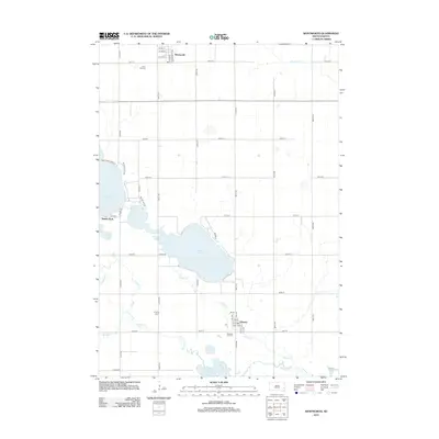
2012 Map of Wentworth
USGS Topo · Published 2012About this map
Brant Lake and the surrounding prairie wetlands dominate this South Dakota landscape, where agricultural section lines define the movement of water and people. The map illustrates a region anchored by the small community of Wentworth in the north and Chester to the south, both characterized by their organized grid of streets such as S Main Ave and S Centennial Ave. The drainage patterns of Skunk Cr, Bachelor Cr, and Buffalo Cr create a complex network of creeks that feed into significant water bodies like Lake Madison and Buffalo Slough. For local historians and genealogists, the placement of Rose Hill Cem, Prospect Cem, and Pleasant Hill Cem provides critical points for tracing family histories within these rural townships. The map also records localized lakeside developments, including Smiths Park, reflecting the era's residential patterns along the shores of Round Lake.
Find a feature on this map
50 named features on this map. Tap any name to fly to it.
Don’t see what you’re looking for? This feature index may not catch every label — zoom into the map to look around manually.
Map Details
Editions of this 2012 Wentworth Map
This is the sole edition of this map. No revisions or reprints were ever made.
Other maps of this area

1953 · Watertown
USGS Topo · 1:250,000

1955 · Sioux Falls
USGS Topo · 1:250,000

1958 · Sioux Falls
USGS Topo · 1:250,000

1958 · Watertown
USGS Topo · 1:250,000

1962 · Colton SE
USGS Topo · 1:24,000

1963 · Colman
USGS Topo · 1:24,000

1964 · Rutland SE
USGS Topo · 1:24,000

1968 · Lake Madison
USGS Topo · 1:24,000

1968 · Wentworth
USGS Topo · 1:24,000

1968 · Madison
USGS Topo · 1:24,000