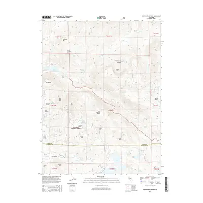
2015 Map of Wentworth Springs
USGS Topo · Published 2015About this map
Wentworth Springs and its surrounding high-country landscape are meticulously documented in this 2015 survey, which covers a critical intersection of the Tahoe National Forest and Eldorado National Forest. The map detail captures a complex drainage system feeding into Hell Hole Reservoir and Loon Lake, with the Rubicon River and Gerle Creek carving through the granite peaks. This area is a significant hub for recreation and historic mountain travel, featuring the namesake Wentworth Springs Road and a segment of the Pacific Crest National Scenic Trail.
Find a feature on this map
70 named features on this map. Tap any name to fly to it.
Don’t see what you’re looking for? This feature index may not catch every label — zoom into the map to look around manually.
Map Details
Editions of this 2015 Wentworth Springs Map
This is the sole edition of this map. No revisions or reprints were ever made.
Other maps of this area

1889 · Pyramid Peak
USGS Topo · 1:125,000

1891 · Truckee
USGS Topo · 1:125,000

1891 · Pyramid Peak
USGS Topo · 1:125,000

1893 · Truckee
USGS Topo · 1:125,000

1895 · Pyramid Peak
USGS Topo · 1:125,000

1895 · Truckee
USGS Topo · 1:125,000

1896 · Pyramid Peak
USGS Topo · 1:125,000

1932 · Truckee
USGS Topo · 1:96,000

1940 · Truckee
USGS Topo · 1:125,000

1947 · Sacramento
USGS Topo · 1:250,000