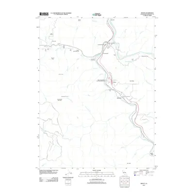
2012 Map of Weott
USGS Topo · Published 2012About this map
The S Fork Eel River carves a deep path through the ancient forests of Humboldt County, creating a corridor of alluvial flats and dramatic bluffs. This 2012 survey documents a landscape dominated by massive redwoods, with landmarks such as the Founders Tree, the Dyerville Giant, and the Native Daughters of the Golden West Grove highlighting the botanical significance of the region. Small riverfront communities like Weott, Burlington, and Myers Flat line the valley floor, connected by roads that navigate the complex drainage systems of Canoe Cr and Bull Cr.
Find a feature on this map
76 named features on this map. Tap any name to fly to it.
Don’t see what you’re looking for? This feature index may not catch every label — zoom into the map to look around manually.
Map Details
Editions of this 2012 Weott Map
This is the sole edition of this map. No revisions or reprints were ever made.
Other maps of this area

1919 · Glynn
USGS Topo · 1:62,500

1920 · Pt. Delagda
USGS Topo · 1:62,500

1921 · Dyerville
USGS Topo · 1:62,500

1921 · Briceland
USGS Topo · 1:62,500

1949 · Eureka
USGS Topo · 1:250,000

1949 · Point Delgada
USGS Topo · 1:62,500

1949 · Garberville
USGS Topo · 1:62,500

1949 · Weott
USGS Topo · 1:62,500

1950 · Scotia
USGS Topo · 1:62,500

1951 · Scotia
USGS Topo · 1:62,500