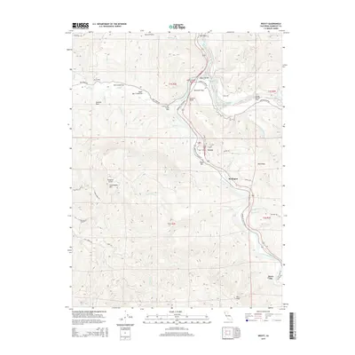
2015 Map of Weott
USGS Topo · Published 2015About this map
Weott and Burlington sit along the winding corridor of the South Fork Eel River in this modern topographic record of the redwood country. The map highlights the significant riparian flats and gravel bars that characterize this reach of the river, including Dyerville Flats, Leatherwood Bar, and Gould Bar. To the west, the terrain rises sharply toward Grasshopper Mtn and Buzzard Rock, where the forest is dissected by numerous drainages like Bull Cr and Connick Cr. This 2015 edition provides an exceptionally clear view of the Avenue of the Giants as it snakes through Bull Creek Flat and past Myers Flat, tracing the historical transportation route through the massive timber groves and river valleys of the region.
Find a feature on this map
63 named features on this map. Tap any name to fly to it.
Don’t see what you’re looking for? This feature index may not catch every label — zoom into the map to look around manually.
Map Details
Editions of this 2015 Weott Map
This is the sole edition of this map. No revisions or reprints were ever made.
Other maps of this area

1919 · Glynn
USGS Topo · 1:62,500

1920 · Pt. Delagda
USGS Topo · 1:62,500

1921 · Dyerville
USGS Topo · 1:62,500

1921 · Briceland
USGS Topo · 1:62,500

1949 · Eureka
USGS Topo · 1:250,000

1949 · Point Delgada
USGS Topo · 1:62,500

1949 · Garberville
USGS Topo · 1:62,500

1949 · Weott
USGS Topo · 1:62,500

1950 · Scotia
USGS Topo · 1:62,500

1951 · Scotia
USGS Topo · 1:62,500