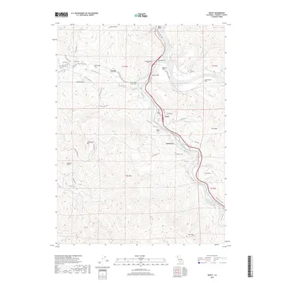
2018 Map of Weott
USGS Topo · Published 2018About this map
The South Fork Eel River carves a winding path through this corner of Humboldt County, creating a landscape defined by alluvial bars and river flats. Small settlements like Weott and Burlington are situated along the river's edge, shadowed by the rising elevations of Grasshopper Mtn and Mail Ridge. This terrain, dominated by the river's hydrology and the steep slopes of the coast range, is crisscrossed by a dense network of paths including the Fleischmann Grove Trail and Burlington-Weott Trail.
Find a feature on this map
72 named features on this map. Tap any name to fly to it.
Don’t see what you’re looking for? This feature index may not catch every label — zoom into the map to look around manually.
Map Details
Editions of this 2018 Weott Map
This is the sole edition of this map. No revisions or reprints were ever made.
Other maps of this area

1919 · Glynn
USGS Topo · 1:62,500

1920 · Pt. Delagda
USGS Topo · 1:62,500

1921 · Dyerville
USGS Topo · 1:62,500

1921 · Briceland
USGS Topo · 1:62,500

1949 · Eureka
USGS Topo · 1:250,000

1949 · Point Delgada
USGS Topo · 1:62,500

1949 · Garberville
USGS Topo · 1:62,500

1949 · Weott
USGS Topo · 1:62,500

1950 · Scotia
USGS Topo · 1:62,500

1951 · Scotia
USGS Topo · 1:62,500