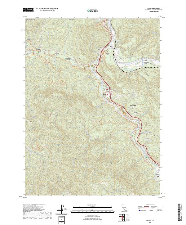
2023 Map of Weott
USGS Topo · Published 2023About this map
The South Fork Eel River carves a deep path through Humboldt County, defining the corridor for the iconic Ave of the Giants. This terrain is characterized by massive alluvial benches such as Upper Bull Creek Flat and Lower Bull Creek Flat, areas historically significant for their ancient redwood groves. The settlement of Weott serves as a central point along the river, flanked by smaller hamlets like Burlington and Myers Flat.
Find a feature on this map
75 named features on this map. Tap any name to fly to it.
Don’t see what you’re looking for? This feature index may not catch every label — zoom into the map to look around manually.
Map Details
Editions of this 2023 Weott Map
This is the sole edition of this map. No revisions or reprints were ever made.
Other maps of this area

1919 · Glynn
USGS Topo · 1:62,500

1920 · Pt. Delagda
USGS Topo · 1:62,500

1921 · Dyerville
USGS Topo · 1:62,500

1921 · Briceland
USGS Topo · 1:62,500

1949 · Eureka
USGS Topo · 1:250,000

1949 · Point Delgada
USGS Topo · 1:62,500

1949 · Garberville
USGS Topo · 1:62,500

1949 · Weott
USGS Topo · 1:62,500

1950 · Scotia
USGS Topo · 1:62,500

1951 · Scotia
USGS Topo · 1:62,500