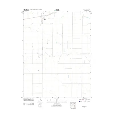
2012 Map of Weskan
USGS Topo · Published 2012About this map
The unincorporated community of Weskan serves as the focal point of this Western Kansas survey, situated along a straight transportation corridor in the High Plains. Local landmarks such as the Po and the nearby Weskan Cem document the town's social fabric, while the surrounding landscape is defined by the ephemeral drainage of Eagletail Cr. A grid of rural routes, including Weskan Ave and Road Wa S-6, illustrates the systematic land division typical of Wallace County. Southwest of the main settlement, the elevation rises slightly at Rock Hill, one of the few named topographic features in this otherwise level agricultural expanse.
Find a feature on this map
11 named features on this map. Tap any name to fly to it.
Don’t see what you’re looking for? This feature index may not catch every label — zoom into the map to look around manually.
Map Details
Editions of this 2012 Weskan Map
This is the sole edition of this map. No revisions or reprints were ever made.
Other maps of this area

1892 · Cheyenne Wells
USGS Topo · 1:125,000

1894 · Cheyenne Wells
USGS Topo · 1:125,000

1954 · Lamar
USGS Topo · 1:250,000

1955 · Scott City
USGS Topo · 1:250,000

1958 · Lamar
USGS Topo · 1:250,000

1958 · Scott City
USGS Topo · 1:250,000

1959 · Weskan
USGS Topo · 1:62,500

1968 · Sharon Springs 3 NE
USGS Topo · 1:24,000

1968 · Sharon Springs 3 NW
USGS Topo · 1:24,000

1969 · Arapahoe SE
USGS Topo · 1:24,000