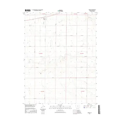
2015 Map of Weskan
USGS Topo · Published 2015About this map
The settlement of Weskan sits in the high plains of western Wallace County, serving as a hub for the surrounding agricultural grid. This 2015 survey illustrates a landscape defined by expansive township and range sections, where property boundaries and travel routes are dictated by a rigorous cardinal network. Distinctive local markers include the Weskan Cem located east of the main townsite, and the high point of Rock Hill to the south. The terrain is lightly etched by drainage features like Eagletail Cr, which provides the primary variation in an otherwise uniform topography. A system of descriptively named local roads, such as Muddy Rd, Jackrabbit Rd, and Ironhorse Rd, facilitates movement between the disparate farmsteads and the central village center.
Find a feature on this map
20 named features on this map. Tap any name to fly to it.
Don’t see what you’re looking for? This feature index may not catch every label — zoom into the map to look around manually.
Map Details
Editions of this 2015 Weskan Map
This is the sole edition of this map. No revisions or reprints were ever made.
Other maps of this area

1892 · Cheyenne Wells
USGS Topo · 1:125,000

1894 · Cheyenne Wells
USGS Topo · 1:125,000

1954 · Lamar
USGS Topo · 1:250,000

1955 · Scott City
USGS Topo · 1:250,000

1958 · Lamar
USGS Topo · 1:250,000

1958 · Scott City
USGS Topo · 1:250,000

1959 · Weskan
USGS Topo · 1:62,500

1968 · Sharon Springs 3 NE
USGS Topo · 1:24,000

1968 · Sharon Springs 3 NW
USGS Topo · 1:24,000

1969 · Arapahoe SE
USGS Topo · 1:24,000