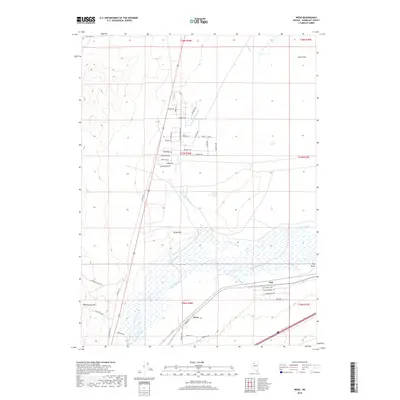
2018 Map of Weso
USGS Topo · Published 2018About this map
The Little Humboldt River meanders across the high desert basin of Humboldt County, joining the main channel of the Humboldt River just south of Weso. This 2018 survey reveals a landscape where water and topography dictate the human footprint. To the west, the steep rise of Winnemucca Mtn dominates the horizon, while the flat, riparian lands of Dutch Flat and the wetlands around Pioneer Slough indicate the natural drainage patterns of the Great Basin. Small settlements like Tule and Weso are positioned near the river corridor and the transportation routes that follow it. The inclusion of Old Tollhouse Rd and Stagecoach Dr suggests a modern street network that follows the historical paths carved by early travelers through the Big Bend area, where the river takes a sharp turn through the valley floor.
Find a feature on this map
51 named features on this map. Tap any name to fly to it.
Don’t see what you’re looking for? This feature index may not catch every label — zoom into the map to look around manually.
Map Details
Editions of this 2018 Weso Map
This is the sole edition of this map. No revisions or reprints were ever made.
Other maps of this area

1882 · Paradise
USGS Topo · 1:250,000

1893 · Paradise
USGS Topo · 1:250,000

1932 · Sonoma Range
USGS Topo · 1:250,000

1939 · Sonoma Range
USGS Topo · 1:250,000

1955 · McDermitt
USGS Topo · 1:250,000

1955 · Winnemucca
USGS Topo · 1:250,000

1958 · Winnemucca
USGS Topo · 1:250,000

1958 · Winnemucca
USGS Topo · 1:62,500

1958 · Rose Creek
USGS Topo · 1:62,500

1959 · McDermitt
USGS Topo · 1:250,000