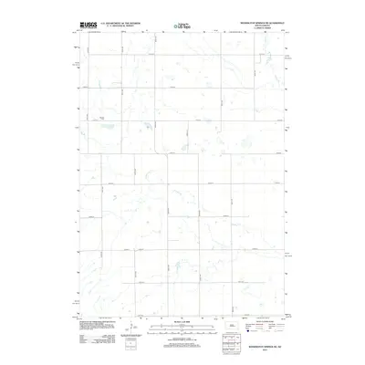
2012 Map of Wessington Springs NE
USGS Topo · Published 2012About this map
Earlville Cem sits as a lonely historical marker in this rural landscape within Jerauld County, reflecting the early patterns of prairie settlement in South Dakota. This area is characterized by an extensive grid of section-line roads, including 378th Ave and 219th St, which organize the agricultural terrain and surrounding wetlands. The natural drainage of the region is defined by the winding paths of Firesteel Cr in the south and Sand Cr in the northeast. The lack of concentrated towns on this sheet emphasizes the dispersed nature of homesteading in Chery Township, where the location of small family cemeteries and local watercourses often serve as the primary landmarks for genealogists and local historians tracing regional roots.
Find a feature on this map
19 named features on this map. Tap any name to fly to it.
Don’t see what you’re looking for? This feature index may not catch every label — zoom into the map to look around manually.
Map Details
Editions of this 2012 Wessington Springs NE Map
This is the sole edition of this map. No revisions or reprints were ever made.
Other maps of this area

1898 · Huron
USGS Topo · 1:125,000

1951 · Wessington SE
USGS Topo · 1:24,000

1951 · Wessington SW
USGS Topo · 1:24,000

1953 · Huron
USGS Topo · 1:250,000

1954 · Huron
USGS Topo · 1:250,000

1973 · Wessington Springs NE
USGS Topo · 1:24,000

1973 · Wessington Springs
USGS Topo · 1:24,000

1973 · Wessington Springs NW
USGS Topo · 1:24,000
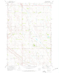
1973 · Virgil
USGS Topo · 1:24,000
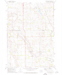
1973 · Woonsocket NW
USGS Topo · 1:24,000