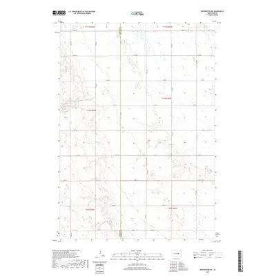
2017 Map of Wessington SW
USGS Topo · Published 2017About this map
The Hand Co Beadle Co line bisects this rural landscape, marking a transition between the administrative boundaries of these two South Dakota counties. This prairie terrain is defined by a sparse network of section-line roads, such as Co Rd 1 and 208th St, which trace the legacy of the Public Land Survey System. The area is dominated by agricultural tracts and natural drainage patterns, with Sand Cr and Silver Cr winding through the eastern and central portions of the sheet. For those researching local burial sites or family history in Beadle County, McNair Cem stands as a focal point in the eastern section of Township 110 North, Range 65 West, providing a specific geographic anchor for the region's rural history.
Find a feature on this map
28 named features on this map. Tap any name to fly to it.
Don’t see what you’re looking for? This feature index may not catch every label — zoom into the map to look around manually.
Map Details
Editions of this 2017 Wessington SW Map
This is the sole edition of this map. No revisions or reprints were ever made.
Other maps of this area

1949 · Vayland SE
USGS Topo · 1:24,000

1950 · Vayland
USGS Topo · 1:24,000

1950 · Wessington
USGS Topo · 1:24,000

1950 · Wessington NE
USGS Topo · 1:24,000

1951 · Wessington SE
USGS Topo · 1:24,000

1951 · Wessington SW
USGS Topo · 1:24,000

1951 · Vayland SE
USGS Topo · 1:24,000

1953 · Huron
USGS Topo · 1:250,000

1954 · Huron
USGS Topo · 1:250,000

1973 · Wessington Springs NE
USGS Topo · 1:24,000