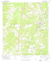
1972 Map of Wesson
USGS Topo · Published 1974About this map
The Indian Treaty Boundary cuts across the southern portion of this region, a legacy of historical land cessions that shaped the local landscape. The town of Wesson serves as the primary hub, situated along the Illinois Central Gulf railroad and anchored by the campus of Copiah Lincoln Jr College. The area is characterized by a dense network of country churches and family-linked burial grounds, such as Mathews Chapel, Sylvarena Ch, and the St Peter Rock Cem near Beauregard.
Find a feature on this map
42 named features on this map. Tap any name to fly to it.
Don’t see what you’re looking for? This feature index may not catch every label — zoom into the map to look around manually.
Map Details
Editions of this 1972 Wesson Map
2 editions found
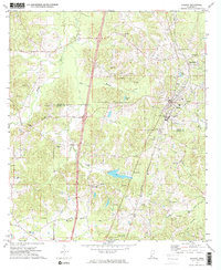
Other maps of this area

1953 · Natchez
USGS Topo · 1:250,000

1956 · Natchez
USGS Topo · 1:250,000

1959 · Natchez
USGS Topo · 1:250,000

1963 · Smyrna
USGS Topo · 1:24,000

1963 · Hazlehurst
USGS Topo · 1:24,000

1963 · Shady Grove
USGS Topo · 1:24,000

1972 · Fair Oak Springs
USGS Topo · 1:24,000

1972 · Midway
USGS Topo · 1:24,000
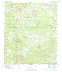
1972 · Stronghope
USGS Topo · 1:24,000

1972 · Brookhaven
USGS Topo · 1:24,000